
Cellar Holes
- Jan 1, 2021
- 1 min read
This past summer while creating the new Glidden Ridge Trail on County Lands, Lionel and I noticed a peculiar hole in the ground. We assumed it was a cellar hole, but there was no record of a house being in that spot on the historic maps. Judy Tatem of the Unity Historical Society thought it might be an old mine of some sort.
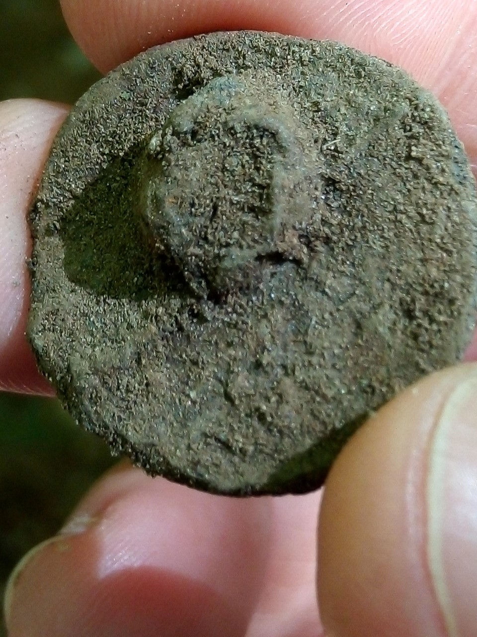
So Judy contacted History Hunter, Ken Burke. He came out with his metal detector and a hand shovel and went to work scanning for metal around the site. He found the well preserved button, pictured here, almost immediately. Then, he found nail after nail after nail. It was enough to confirm that the hole was a cellar hole from an old homesite.
Ken continued to check out this site and found a coin, more buttons, more nails, and a piece of a pot. From his experience and research he could tell right away what time period these items were from and he was very excited about it.
You might notice cellar holes as you are hiking trails and exploring. They are usually depressions in the ground and sometimes there is a pile of chimney stones or other stone foundation nearby. Or you could take a look at a map that uses LiDAR to find if there are any of these features near you that you can go explore.
LiDAR is a remote sensing method that uses light in the form of a pulsed laser to measure ranges (variable distances) to the Earth and can show some interesting features in the woods such as stone walls and cellar holes.


Comments